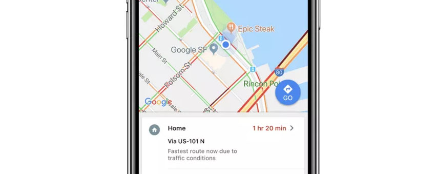
Google Maps integrates AR Live View feature

Google is rolling out its brand new augmented reality (AR) add-on to Maps to ensure you never get lost again.
The brand new AR option in Google Maps with display the real world from your phone’s camera whilst overlaying directions to your destination. Live View is available on both Android and iOS devices.
Located under the Walking directions section of Google Maps, the Live View option appears at the bottom of the screen. The just simply has to tap this icon and the app will guide you through the process of using the feature.

This feature is linked to Google Street View which will provide coordinates. Google has explained too that Visual Positioning System (VPS) technology is used in the new option.
Live View was demonstrated by Google last year at the I/O Conference. So long as a smartphone is equipped with ARCore and ARKit compatibility, it will be able to run the feature.
The fox doesn’t feature

One aspect of the Live View option that didn’t make the cut, however, is an animated fox, showing you the way to your destination.

The furry guide leading the way was originally teased but apparently omitted from the final version of Live View because users expected more from it. Those who tested the app claimed that they expected the fox to show them exciting things on their journey and were let down by the fact that it was only there to direct them.
It’s been a busy few months for Google, with the tech giant announcing gaming platform Stadia this year, too.
